 The Railways of Telford The Railways of Telford
|
|
Site contents © Richard Foxcroft 1996-2000
|
The Railways of Telford
|
|
Site contents © Richard Foxcroft 1996-2000
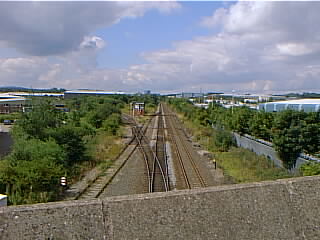
This is a section of the GWR line from Church Stretton. It parted from the line to Wellington at Lightmoor Junction (actually some half mile south of the village), continuing along the valley for another mile and a half before making a gradual turn north for two miles, then east to join the present Shrewsbury - Birmingham main line at Madeley Junction. This last is nowhere near Madeley, and can be seen from the bridge on Stafford Park just short of Naird Roundabout, which itself stands on the site of Naird Farm.
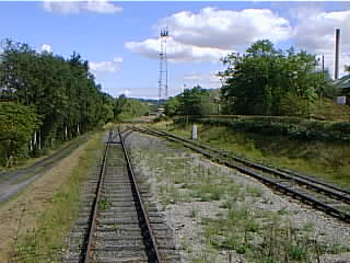
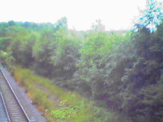
It is still in use to carry coal to Ironbridge Power Station, and therefore cannot be walked.
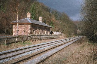
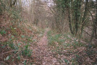
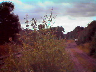
The track now begins at Buildwas, east of the A4169 to Much Wenlock, where there are sidings for Ironbridge Power Station. The other side of the power station, it passes over Buildwas Road, then over Station Road, Coalbrookdale. There was a station here, and the station building still exists. A path from the other side of the line led down into the dale, which I at first mistook for the line of an earlier railway from Coalmoor to the Severn.
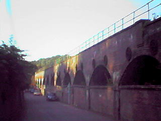
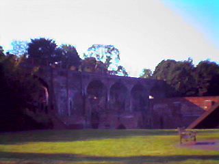
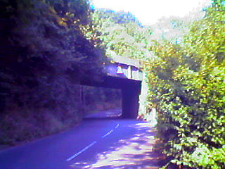
Then it continued across a remarkable viaduct through the Coalbrookdale Company's works and close to Abraham Darby's furnace, dwarfing the gable end of a pumping station there, before curving round over Jiggers Bank and Cherry Tree Hill. This bridge, the Cherry Tree Hill one, is typical.
From Buildwas Junction to Lightmoor Junction was twin track: south of the main Birmingham - Shrewsbury line, this is the only section that was.
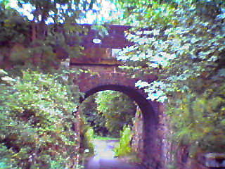
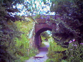
There was a station at Lightmoor Junction, and another at Tweedale, called Madeley Court Station on the 1854 map, but apparently, just plain Madeley in the GWR Handbook of Stations. Between the two, in what is now Rough Park, there are a couple of fine brick bridges, this one just south of Gittens Drive, Aqueduct.
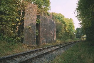
The line passed under the GWR line just before Tweedale - the buttresses of the bridge remain - then it is closely followed by the Queensway now, until it bears east after Randlay Interchange to join the main line at Madeley Junction.
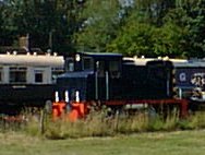
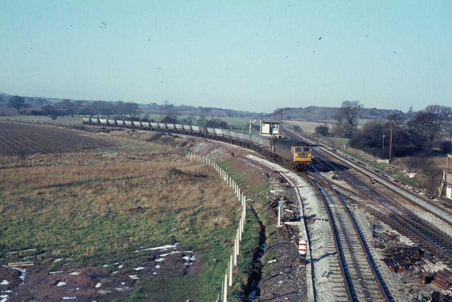
Here's an older view of Madeley Junction, by courtesy of Dave Cromarty, who says,
It's a view of Madeley Jn taken in about 1969. Interesting for the two tone green 47, then the norm, but more particularly because the new signal box has just been built. If you look closely you can see the old box still there on the up side, right of picture. There is something else missing from the picture - Stafford Park [Industrial Estate]! Taken from the old bridge on the same site as the current one.